|
|


The PRISM-CoCoRaHS Climate Portal ( PRISM Portal for short) is a new CoCoRaHS data analysis tool developed at Oregon State University. This is an exclusive feature available only to CoCoRaHS participants. It helps connect our daily precipitation measurements ( weather) to seasonal patterns, long term averages and year to year variations ( climate). This portal provides access to estimates of "normal" precipitation for any location in the contiguous United States. PRISM also provides estimates of total precipitation for each month and year since 1895. Please enjoy and use this great new feature. View the YouTube narrated version of the PRISM Portal Guide by clicking on the arrow below: Does the quality of the video look fuzzy? Adjust using the quality icon to the right of the (cc) symbol View the PRISM Portal Guide  (pdf) 6.5MB 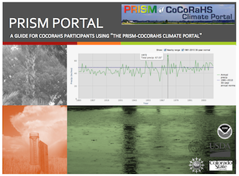 |

Historical "Normals" from the PRISM Climate Mapping System Climatologists use normals as a baseline for determining the amount of precipitation expected at a given location. Normals are sets of 30-year averages, and are recomputed at the end of each decade. The current PRISM normals cover the period 1991-2020, and are based primarily on data collected by the National Weather Service Cooperative network and include some CoCoRaHS data. 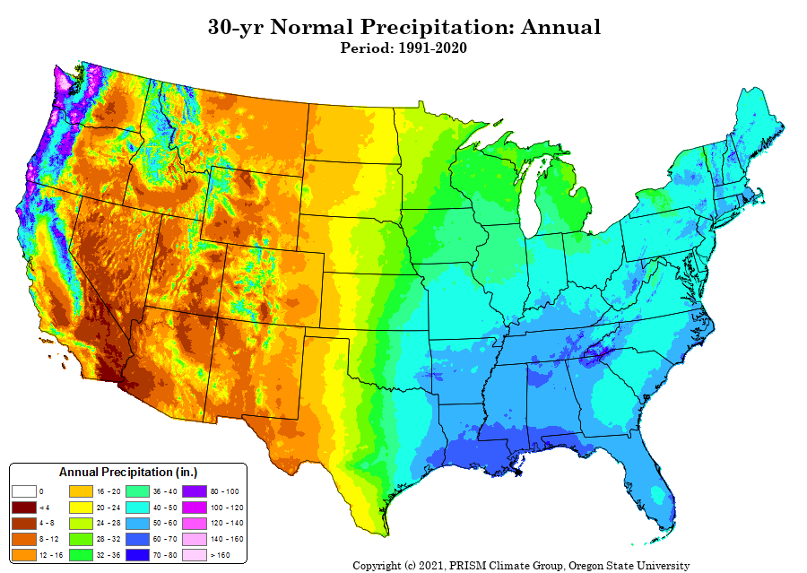 | 30-Year Normals: At the end of each decade, the average values of temperature and precipitation variables are computed over the preceding 30 years. The current set of 30-year normals cover the period 1991-2020.
PRISM Estimates: There are many locations in the US for which no precipitation observations exist. To create a continuous map of precipitation across the county, available station observations are fed into a computer model called PRISM (Parameter-elevation Regressions on Independent Slopes Model). PRISM estimates precipitation for a grid of square cells, measuring 0.5 mile across, covering the entire country. For grid cells where no observations exist, PRISM mimics the process an expert climatologist would follow: the model simulates how precipitation varies with elevation, accounts for oceanic moisture sources, and factors in terrain barriers that can cause rain shadows. http://prism.nacse.org/
|  |

What is modeled data? Is it used elsewhere?
Why does the PRISM time series look different from what I'm collecting with CoCoRaHS?
Do you still need my CoCoRaHS data?
Does PRISM use weather radar?
|      |
The CoCoRaHS-PRISM portal is a collaborative venture between CoCoRaHS and PRISM and is supported by NOAA’s Office of Education, the National Science Foundation, the United States Department of Agriculture, Colorado State University and Oregon State University.
|
|
|